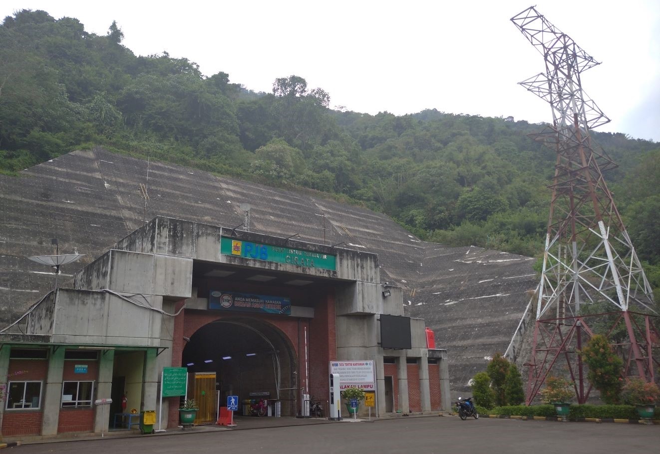
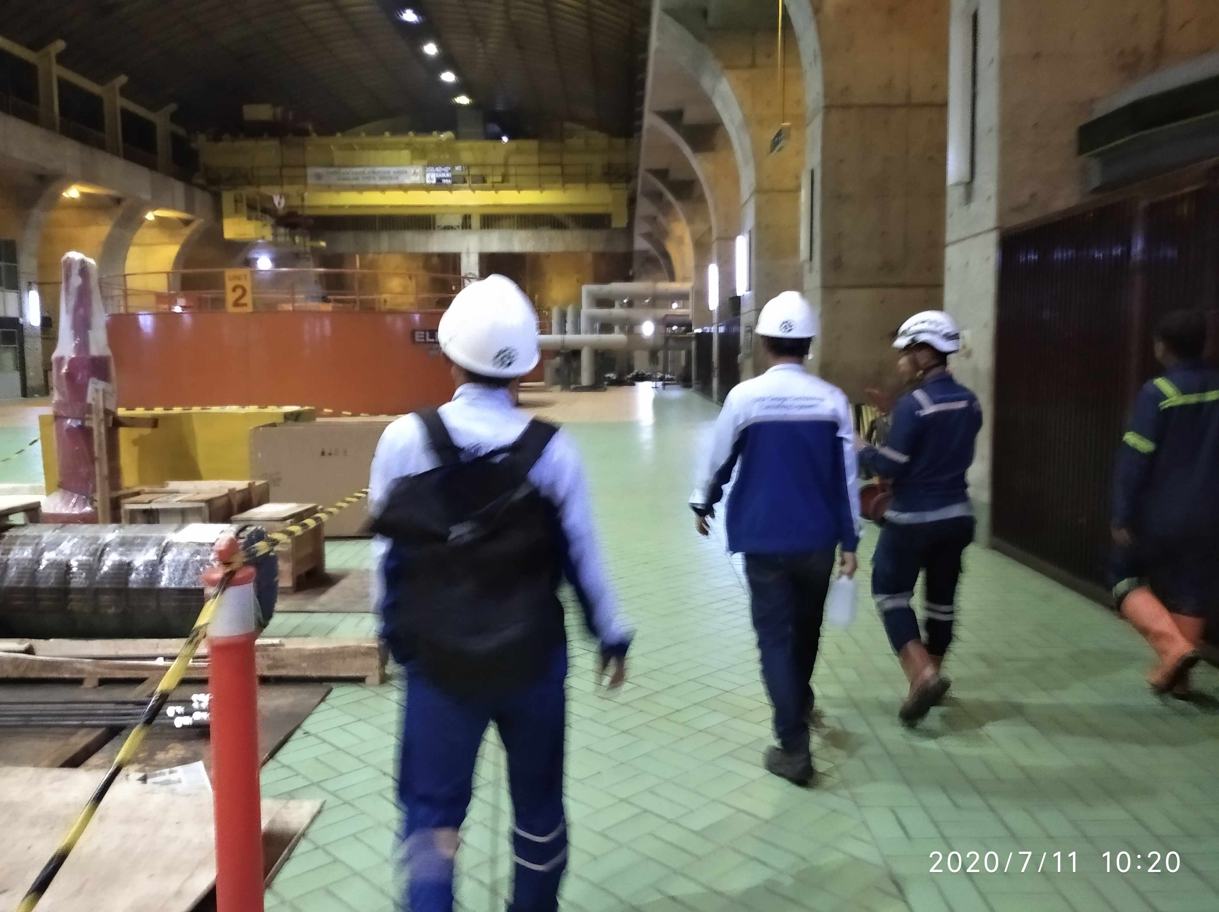
Cirata Hydropower Plant is located on Mount Cantayan, Purwakarta. The location has many steep cut slopes. Landslide events can cause fatality and damage to the transfer tower and the power house.
The soil movement of cut and embankment slope is caused by change of ground surface and loading drastically due to construction proscess or post construction. Since the slope number are many, the Slope Asset Administrator PT Pembangkit Jawa Bali UP PLTA Cirata need good mitigation strategy. The maintenance of all slope asset need many cost and human resource.
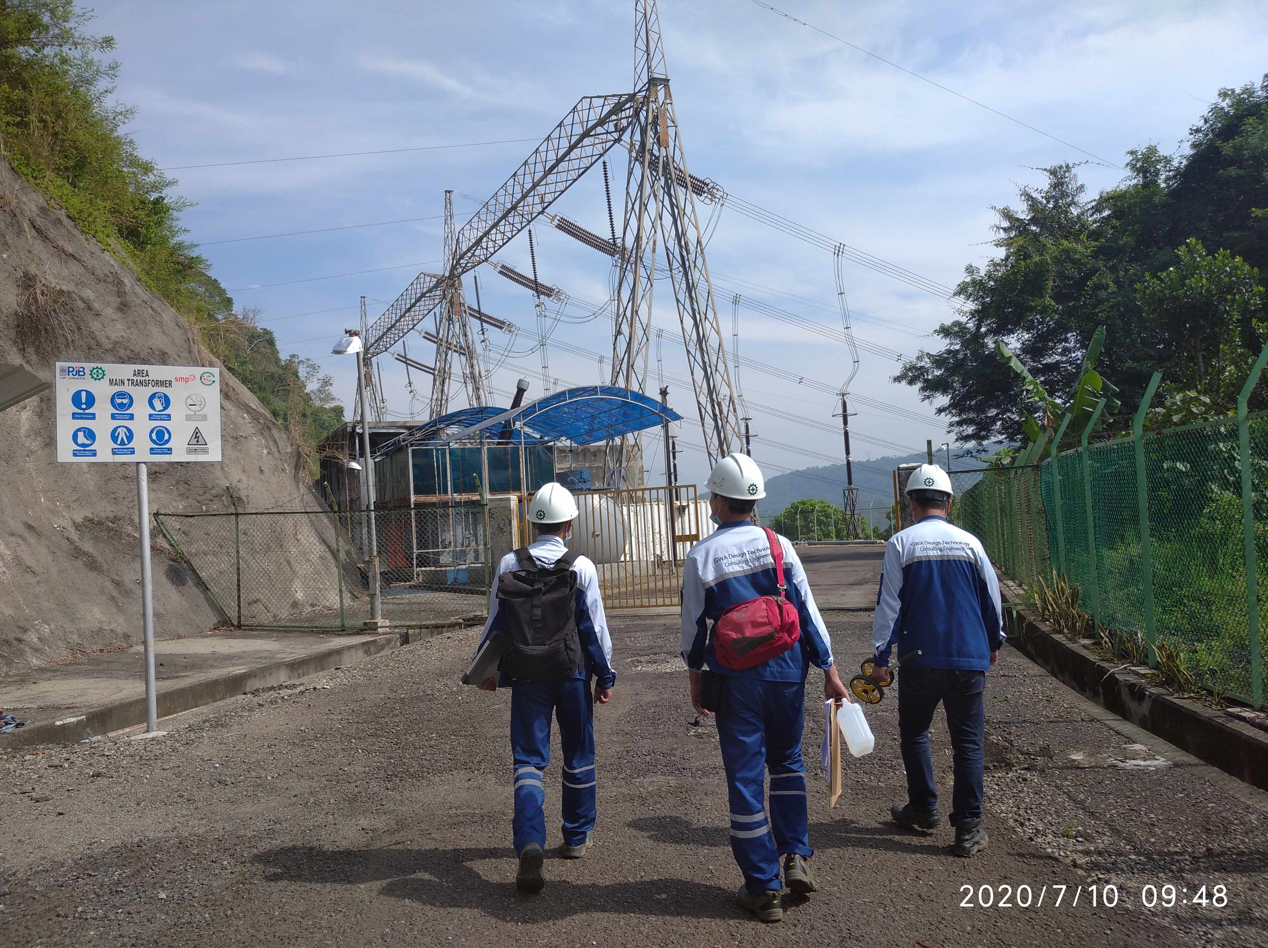
We help PT Pembangkit Jawa Bali UP PLTA Cirata to build mitigation system and strategy. At this case, we conduct Landslide Mapping to rate the condition of all slope. Beside that, this mapping is also conducted to create slope asset inventory, most important part in Slope Mitigation System and Startegy. Afterall, the main purpose of the works is to build the Slope Management System.
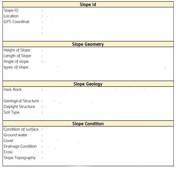
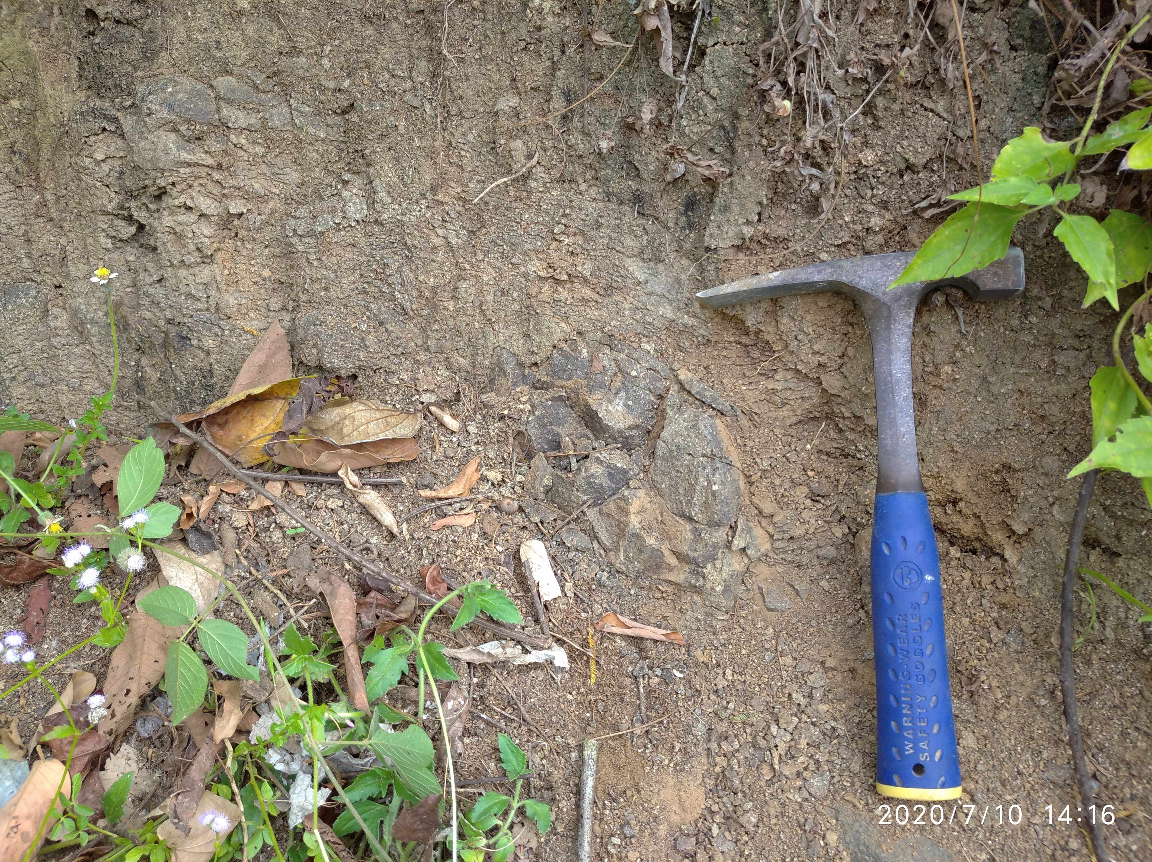
The works is started with slope asset inventorization. On the slope asset inventory sheet, we record the slope geometry and geology feature, such as Slope Identitiy, Slope location, Height of Slope, Length of Slope, Geology condition and Slope description. If all the slope information is recorded well, the Inventory Sheet can be rewrited as follow.
After the inventory works is done, all the slope will be rated and ranked to determine Risk Geo-hazard Rating of the slope. For this works, we use Hongkong Geoguide and Malaysian Public Works Departement as the code reference of the method and analysis. The slope will be devided to 4 classes, there are Low Risk, Medium Risk, High Risk, and Very High Risk. For the Low to Medium Risk, the maintenance can be done once to twice a year regulary. The maintenance is focused on High Risk and Very High risk which can be done four to five times a year. The risk class can be shown on Interactive GIS Map as follow.
